No favourites yet. Tap a heart to keep a design here.
Fjällpost
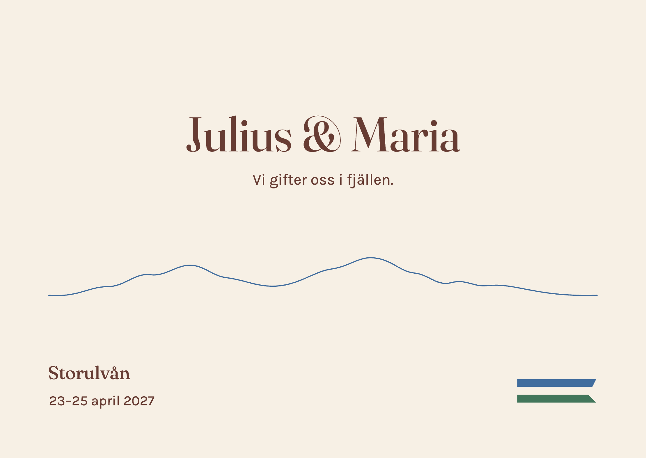
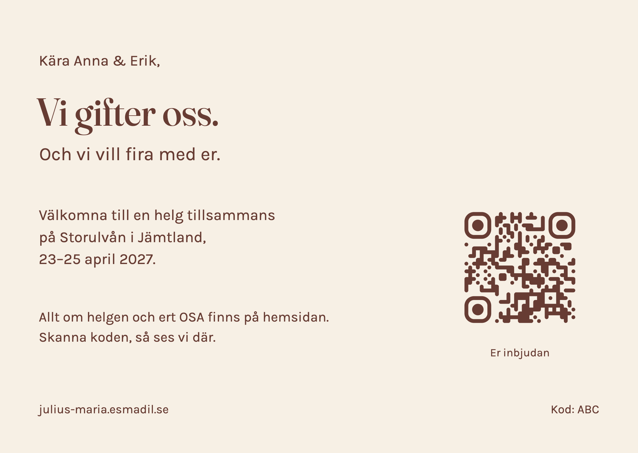
One quiet mountain outline, generous space and the couple’s names.
How it was made SVG line illustration
Created by Codex. Editable vector line work and embedded typography. The ridge is an abstract drawing, not a geographic profile. A6 design proof; bleed and printer colour conversion remain to be set.
Minimal SVG line illustration
Open the two-sided PDF proofDownload editable sourceEn helg tillsammans
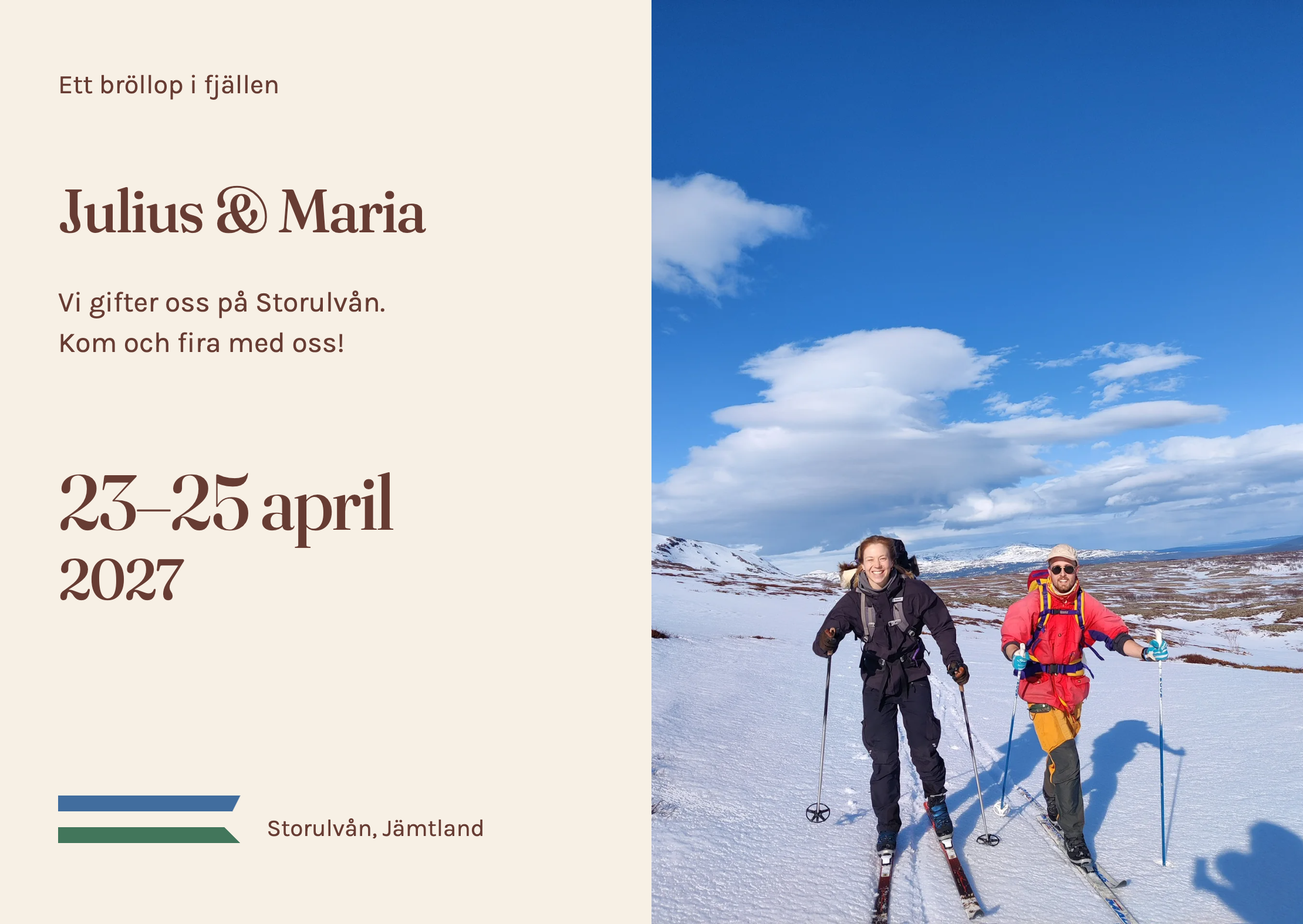
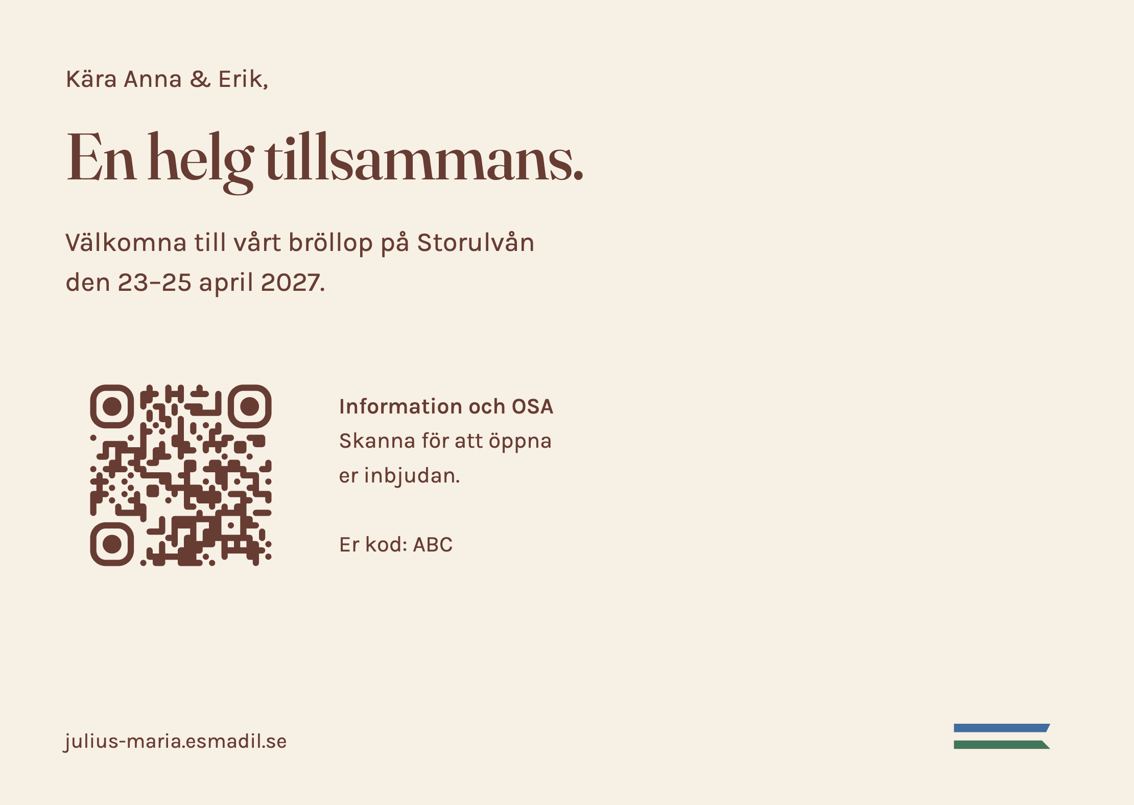
A single skiing photograph, with a calm, text-only reverse and a QR code.
How it was made HTML/CSS and photography
Created by Codex. Photographs and typography laid out in a browser. PDF checked after correcting print scaling. A6 design proof; use original photographs and the printer's bleed and colour settings for production.
HTML/CSS layout → Chromium PDF
Open the two-sided PDF proofDownload editable sourceVarmt välkomna
Terracotta, butter yellow and a big date: a warm, purely typographic invitation.
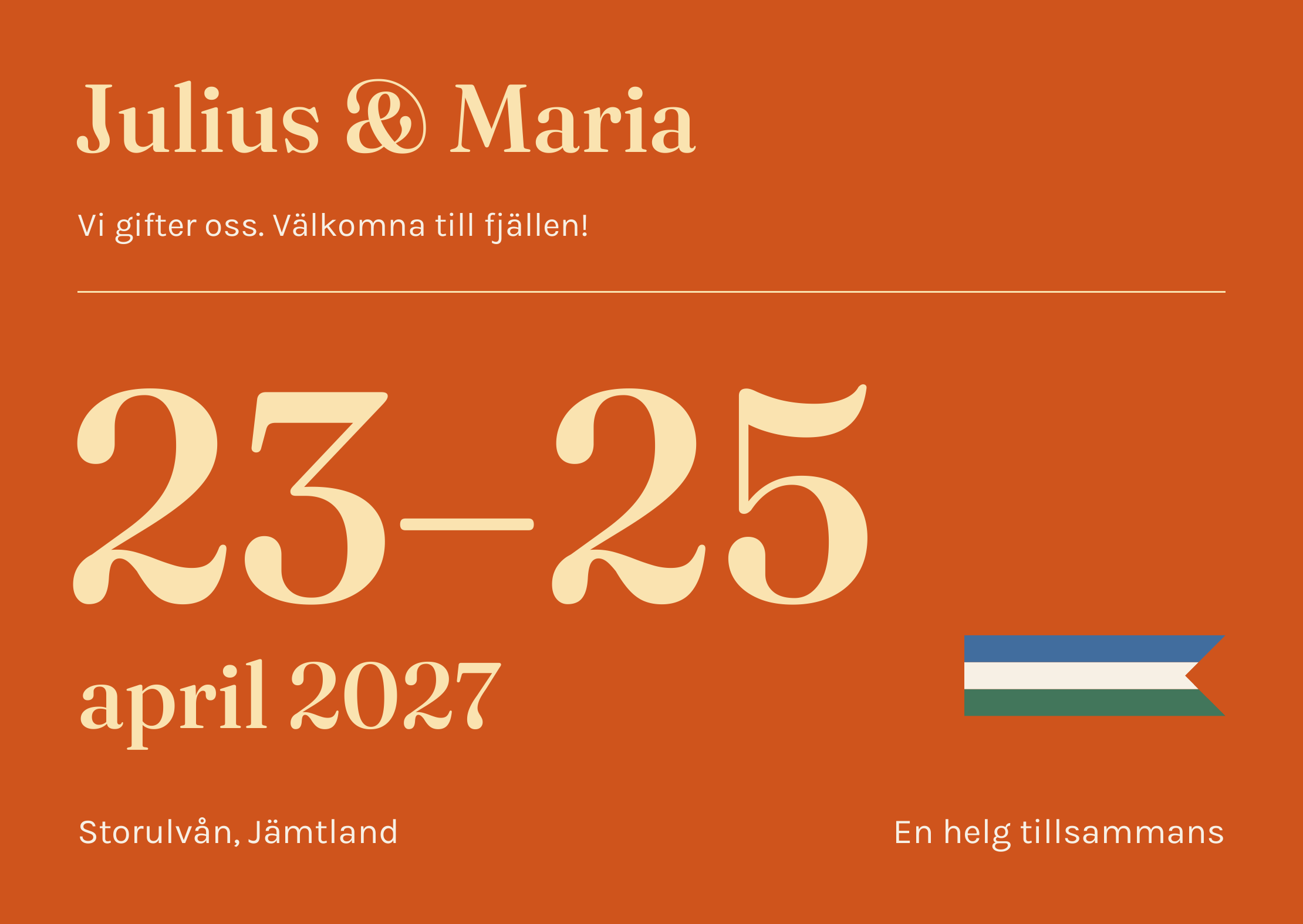

How it was made Python and vector PDF
Created by Codex. Direct PDF generation with embedded fonts and vector graphics. Two exact A6 pages. Flat colour, with no simulated foil or embossing. Printer-specific bleed and colour conversion remain.
Python / ReportLab → PDF
Open the two-sided PDF proofDownload editable sourceFrimärke
One perforated photograph of the couple, centred like a single postage stamp on cream paper, with two quiet lines of type.
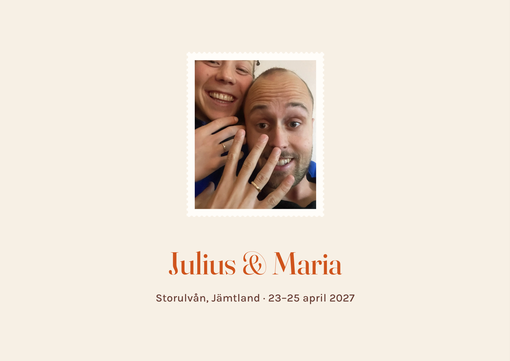
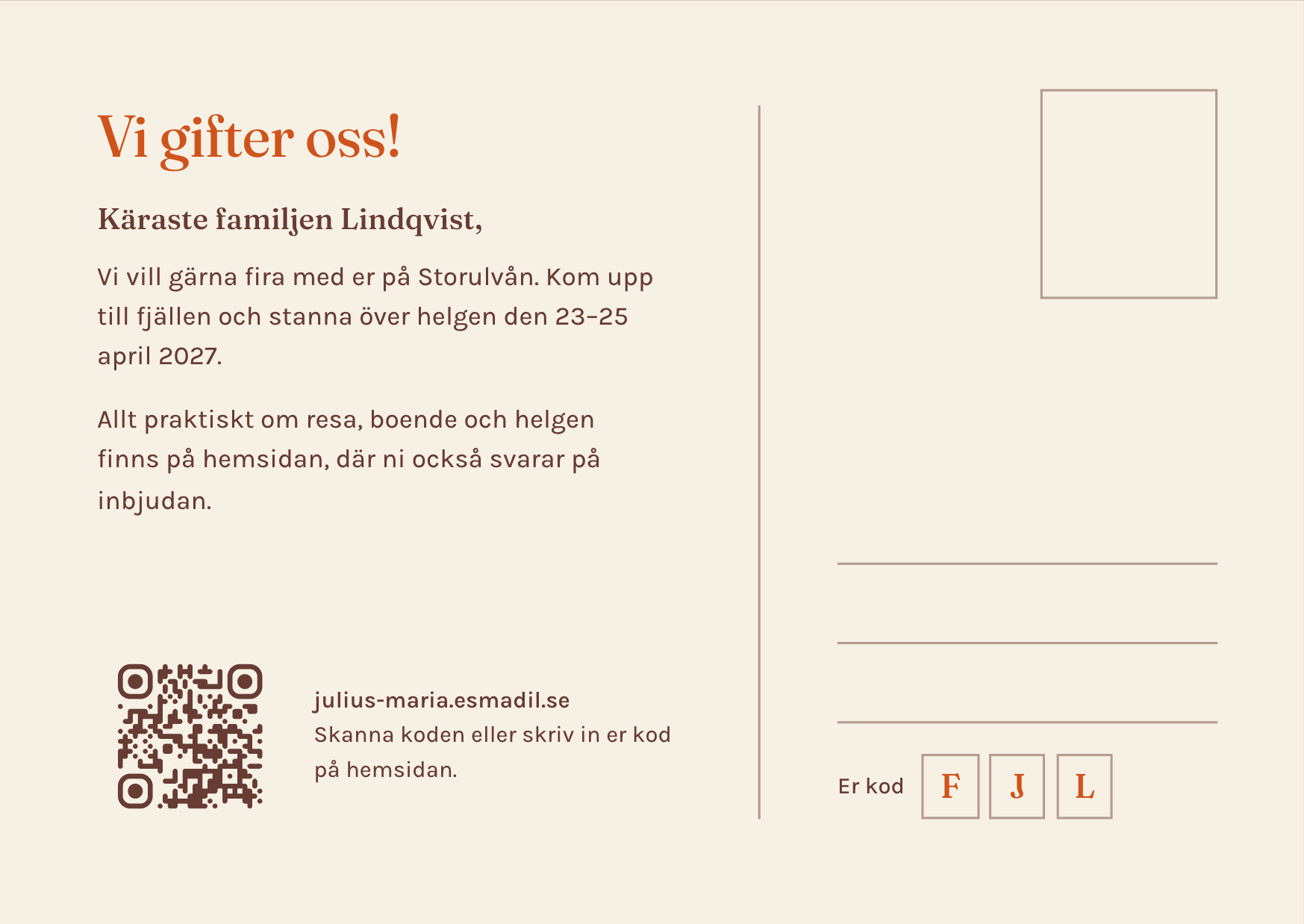
How it was made SVG photo clipping
Created by Opus 5. A design proof; paper, bleed and printer colour settings will be finalised after selection.
HTML/CSS + inline SVG (rectangle with even-odd perforation clip path around the ring close-up), rendered in headless Chrome
Open the two-sided PDF proofDownload editable sourceHöjdkurvor
Real 20-metre contour lines of the terrain around Storulvån in a framed panel, Storulvån and Getryggen marked, names and date in the margin below.
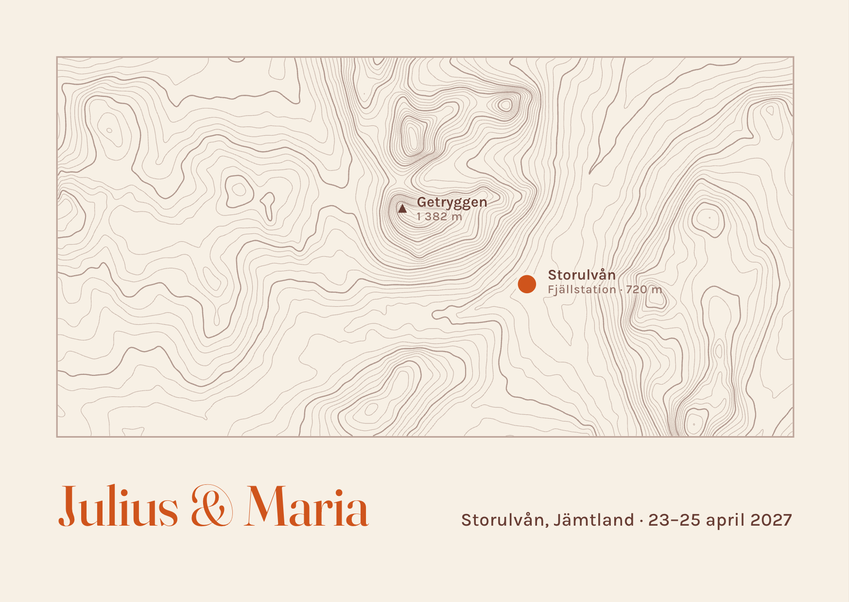
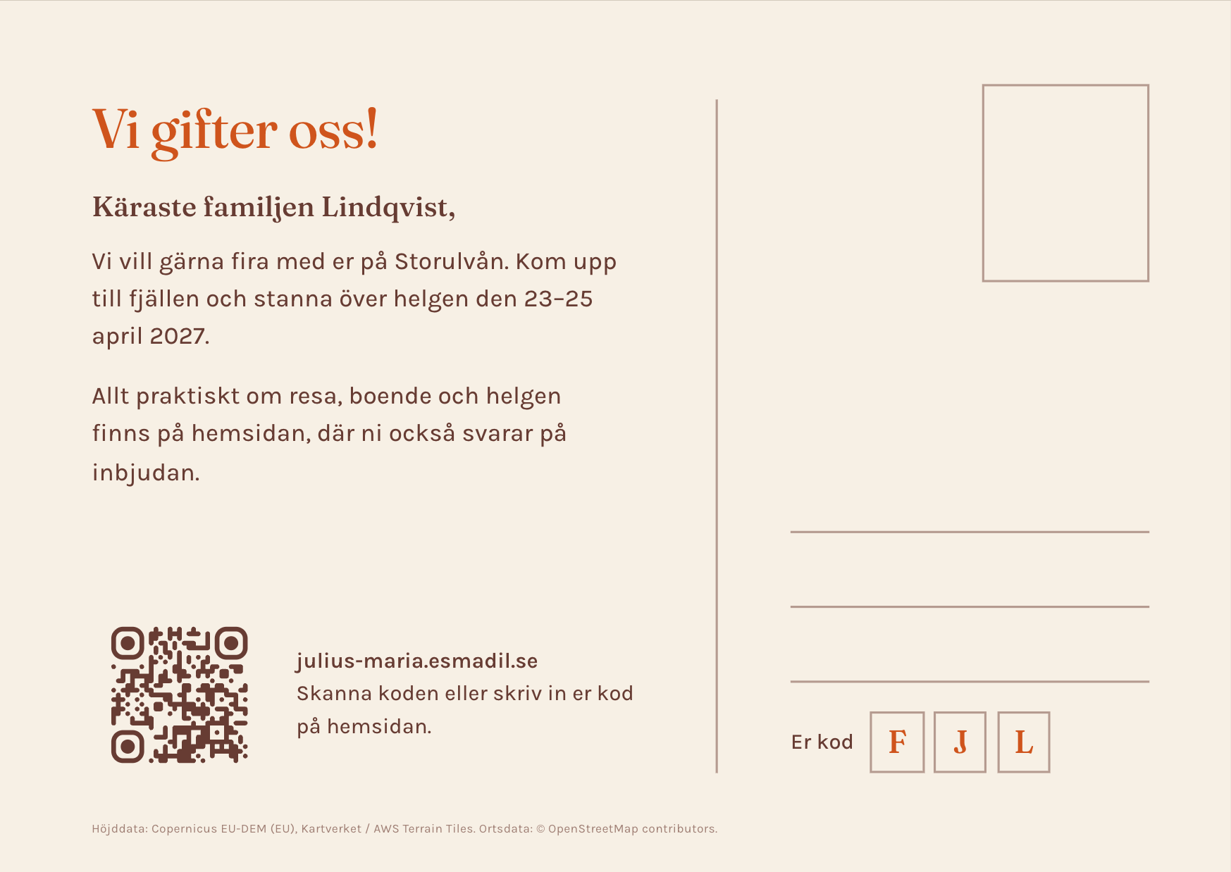
How it was made Elevation data → SVG
Created by Opus 5. A design proof; paper, bleed and printer colour settings will be finalised after selection.
Elevation data (AWS Terrain Tiles, terrarium encoding, zoom 12) → Gaussian smoothing → marching squares in Node → SVG contour paths; HTML/CSS layout rendered in headless Chrome
Europe terrain data produced using Copernicus data and information funded by the European Union – EU-DEM layers; Norway terrain data © Kartverket; served as AWS Terrain Tiles (Mapzen/Tilezen). Place coordinates from OpenStreetMap (© OpenStreetMap contributors, ODbL) via Nominatim.
Open the two-sided PDF proofDownload editable sourceRaster
The ski-touring photograph screened as a two-ink print (Jämtland blue and terracotta on cream) filling the left panel, with names and date in a quiet column.
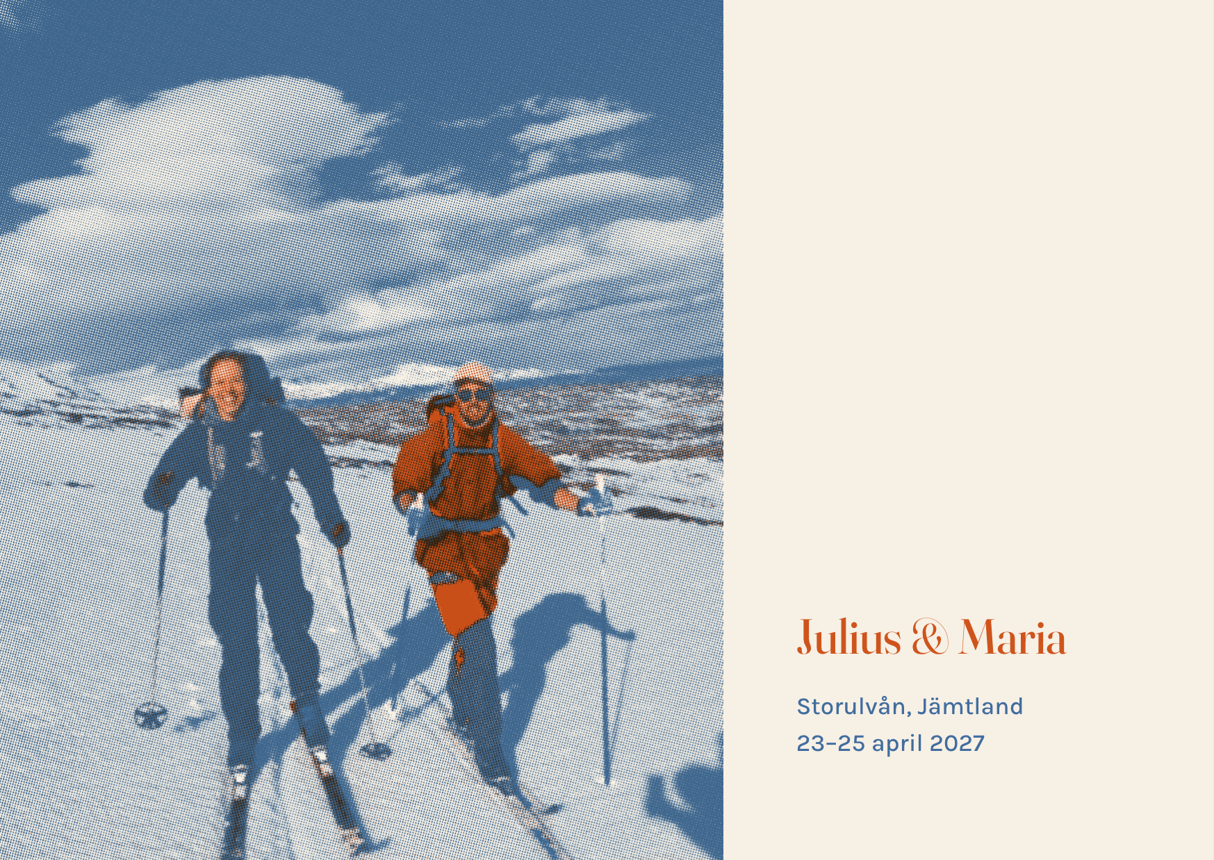
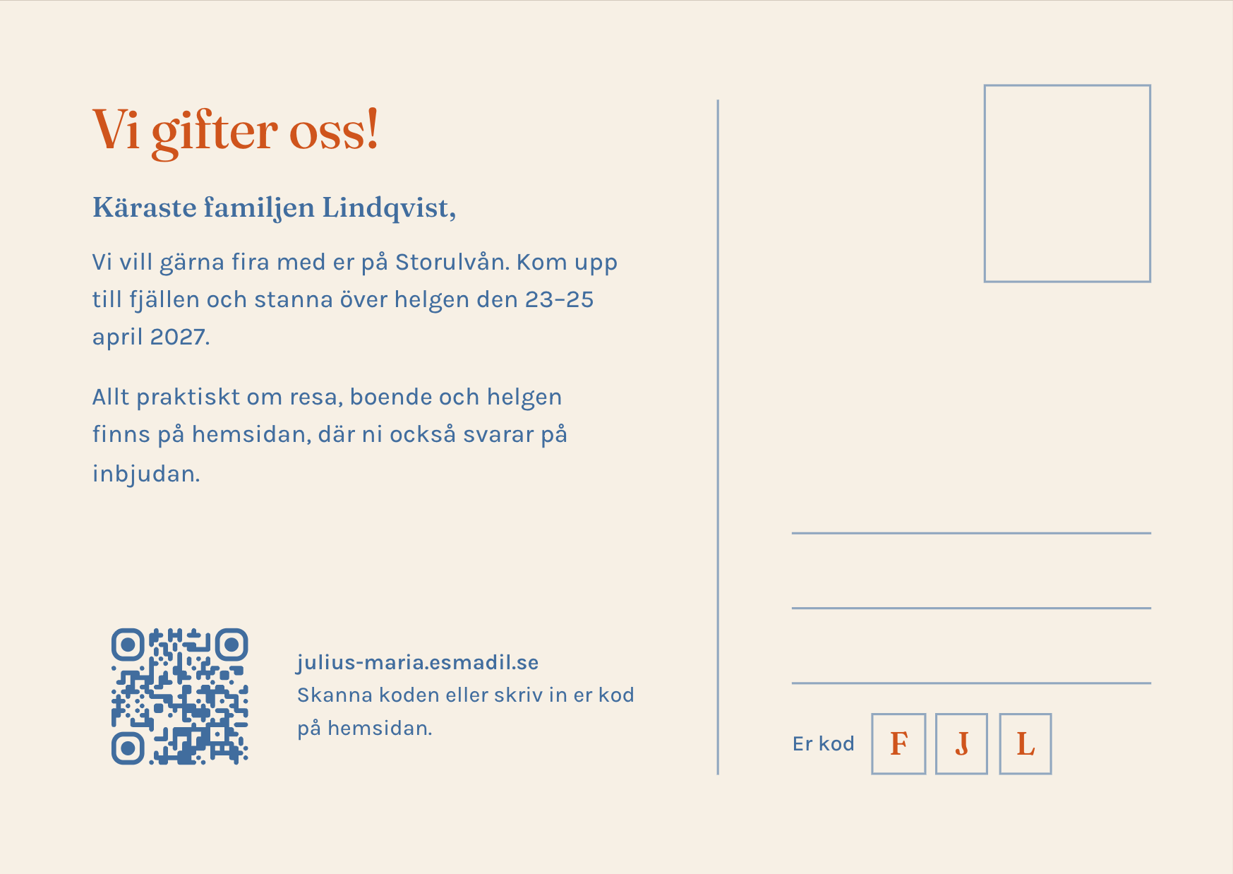
How it was made Canvas halftone
Created by Opus 5. A design proof; paper, bleed and printer colour settings will be finalised after selection.
Canvas two-plate separation (tone/cool → blue, warm → terracotta) with rotated dot screens at 15° and 75°, ~81 lpi at 300 dpi, multiplied onto paper; HTML/CSS layout rendered in headless Chrome
Open the two-sided PDF proofDownload editable source